


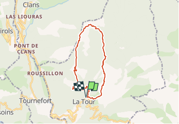

16.5 km | 31 km-effort

Tous les sentiers balisés d’Europe PRO


FREE GPS app for hiking
 SityTrail
IGN / Geographical institutes
SityTrail World
The world is yours!
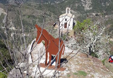
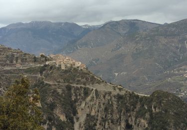
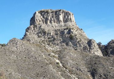
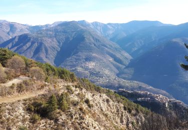
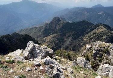
Trail On foot of 12.7 km to be discovered at Provence-Alpes-Côte d'Azur, Maritime Alps, La Tour. This trail is proposed by SityTrail - itinéraires balisés pédestres.
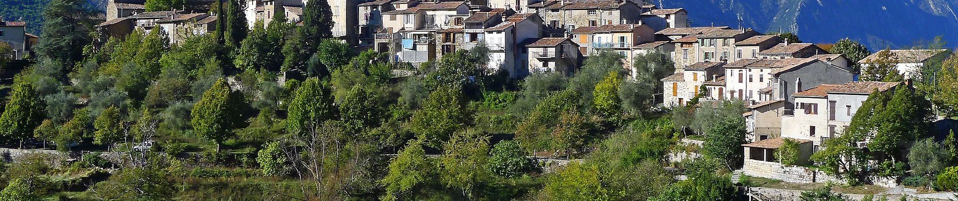
Randonnée pédestre - Au départ de La Tour-sur-Tinée (645 m)
Website: https://randoxygene.departement06.fr/moyenne-tinee/circuit-de-mangiarde-9368.html


On foot
Walking
Walking
Walking
Walking
Walking
Walking
On foot
Walking